Predicting Forest Fires and Developing a Robust Self-Learning System
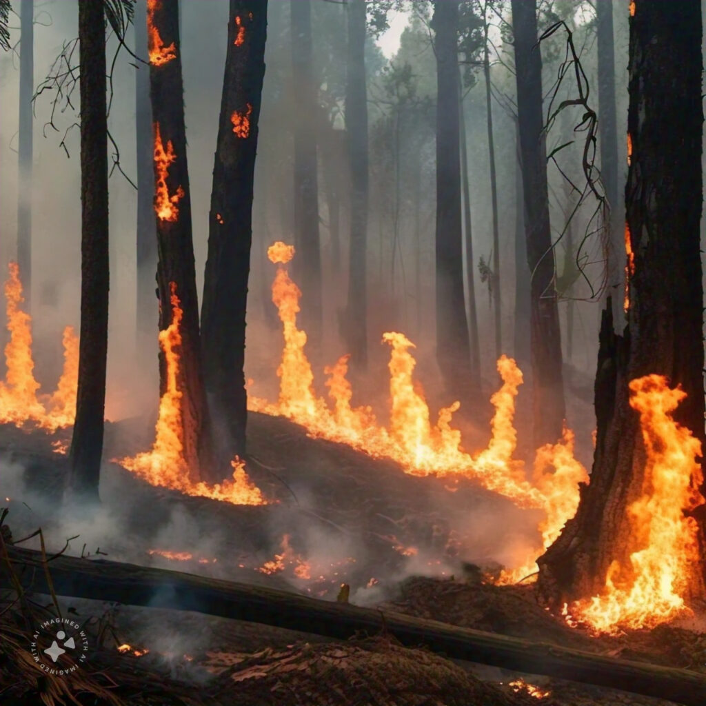
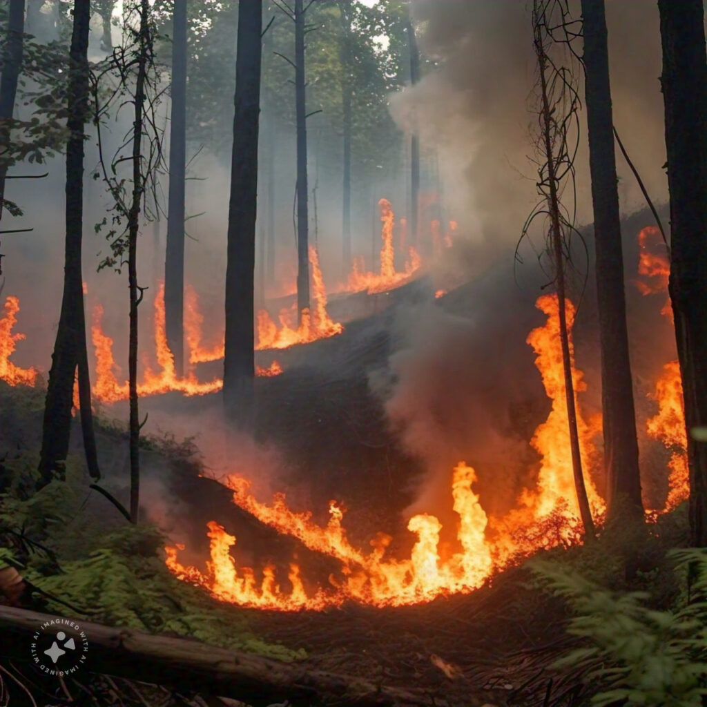
Forest fires pose a significant threat to ecosystems, human lives, and property. Given their increasing frequency and intensity due to climate change, developing accurate prediction models is crucial for early warning and effective management. This summary outlines the key methodologies and steps involved in predicting forest fires and constructing a robust, self-learning system.
Data Collection and Preprocessing
1. Data Sources:
Remote Sensing Satellites: To gather data on vegetation, temperature, humidity, and other relevant environmental factors.
GIS (Geographic Information Systems): For spatial data such as topography, slope, and land use.
Meteorological Data: Including rainfall, atmospheric pressure, wind speed, and temperature patterns.
1. Weather: Hot, dry, and windy conditions increase fire risk. Rain can reduce it.
2. Vegetation: Dry plants and lots of dead leaves or branches make fires more likely.
3. Terrain: Fires spread faster uphill. South-facing slopes can be drier.
4. Human: Activity Things like campfires and discarded cigarettes can start fires.
5. Historical data: Areas that have had fires before are at higher risk.
6. Climate Change: Warmer temperatures and changing weather patterns can lead to more fires.
7. Soil condition: Dry soil can make plants more flammable.
8. Ecosystem Health: Insects and diseases that kill trees can increase fire risk.
2.Data Preprocessing:
Correlation Analysis: Using Pearson correlation to determine the relationship between various factors and forest fire occurrence.
Multicollinearity Testing: To ensure that the predictive variables are not highly correlated with each other, which could skew the model results.
Data Balancing: Applying oversampling methods and proportional stratified sampling to address class imbalances in the dataset.
Model Development
1.LSTNet Model:
Components:
Convolutional Layer: Extracts dependencies between adjacent time series data points.
Recurrent Layer: Captures correlations between single-step cycles.
Recurrent-Skip Layer: Identifies and utilizes repeated patterns over long-term periods, such as diurnal and seasonal temperature variations.
Fully Connected Layer: Fuses outputs from the recurrent layer.
Autoregressive Model: Predicts the linear component, addressing extreme values and enhancing predictive capabilities.
2. Feature Extraction:
The LSTNet model can autonomously extract effective feature information from large datasets, outperforming traditional machine learning methods.
Model Training and Evaluation
1. Training Process:
The model is trained on historical data, learning the intricate relationships between environmental variables and forest fire occurrences. The inclusion of both linear and nonlinear components allows the model to capture complex interactions in the data.
2. Evaluation Metrics:
Root Mean Square Error (RMSE)
Mean Absolute Error (MAE)
Mean Absolute Percentage Error (MAPE)
Accuracy (ACC): The LSTNet model achieves an accuracy of 0.941, indicating high predictive performance.
Prediction and Risk Mapping
1. Predictive Analysis:
The trained model can predict the likelihood of forest fires based on current and forecasted environmental data. Predictions are continuously updated as new data becomes available, allowing for real-time monitoring and early warning.
2. Risk Mapping:
Predicted data is used to create risk maps, visually representing areas with higher susceptibility to forest fires. These maps can guide resource allocation and preventive measures.
Self-Learning and Adaptation
1. Self-Learning Mechanism:
The system is designed to learn from new data continuously, improving its predictive accuracy over time. Incorporates feedback loops where actual fire occurrences are compared with predictions, allowing the model to adjust and refine its parameters.
2. Integration with IoT:
Integrating the predictive model with IoT devices such as wireless sensors can enhance data collection and monitoring. Real-time data from these sensors can provide immediate updates to the model, further improving prediction accuracy and response times.
Conclusion
Developing a robust forest fire prediction system involves the integration of advanced deep learning techniques, comprehensive data collection, and continuous self-learning. The LSTNet model, with its ability to capture both short-term and long-term dependencies in data, offers a powerful tool for predicting forest fires. By leveraging remote sensing, GIS, and meteorological data, along with IoT integration, such a system can provide timely and accurate predictions, facilitating effective forest fire prevention and control strategies. In India we are using https//fsiforestfire.gov.in/ to know historic forest fire data, satellite image to check more sensitive area, our offline app to mark dry area, vegetation, human activity area, soil condition and forest disease areas, ArcGIS for terrain, https//openweathermap.org/ for weather forecast and temperature. By using all these data we are training our AI using tensorflow to predict the most probable area where forest fire can occure and then for continues lerning we use kalman filter to make our prediction more accurate and reliable.